|
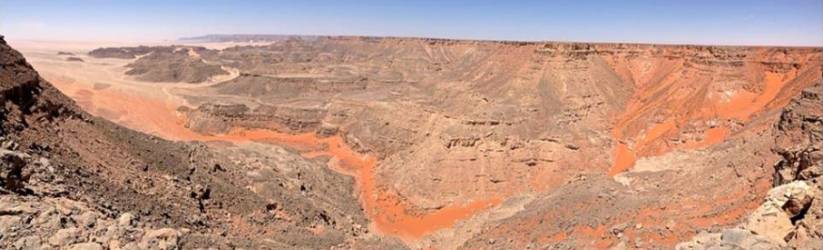
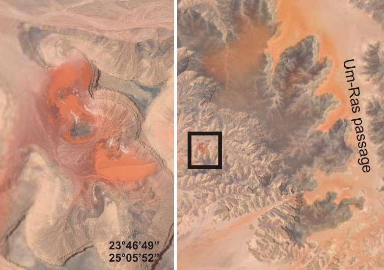
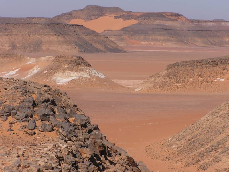
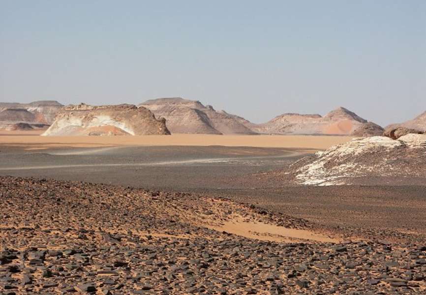
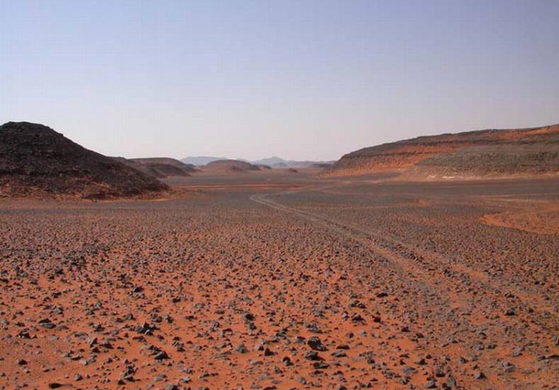
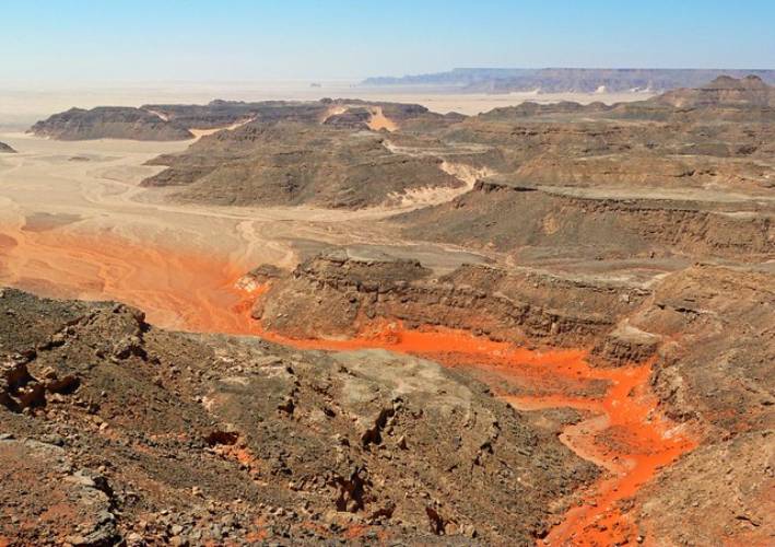
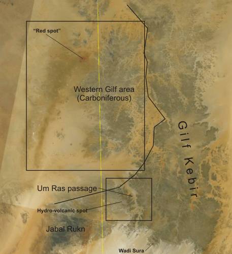
In the western part of the Gilf
Kebir and its foothills at the Libyan side is observe widespread conspicuous
red discolored areas on the satellite image. This area, beyond the Egyptian
border, is an intensively influenced by
hydro-volcanic activities during the Oligocene age
(Gilf Kebir crater field, Regenfeld pipes, Libyan desert glass etc.).
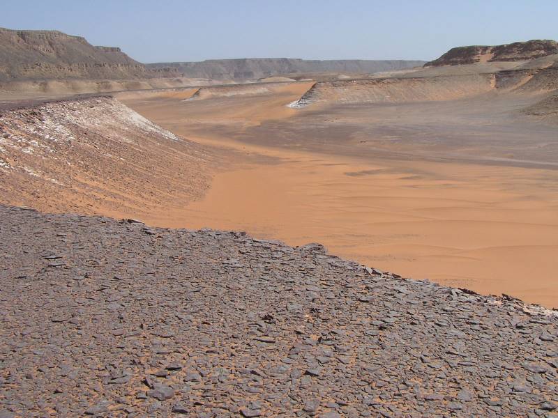
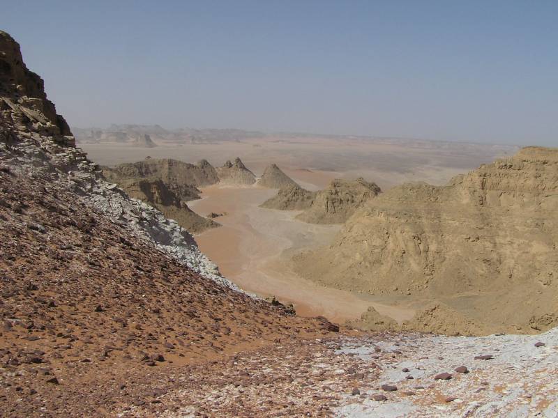
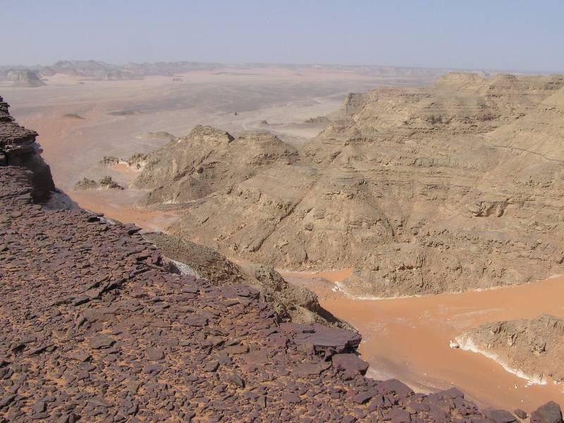
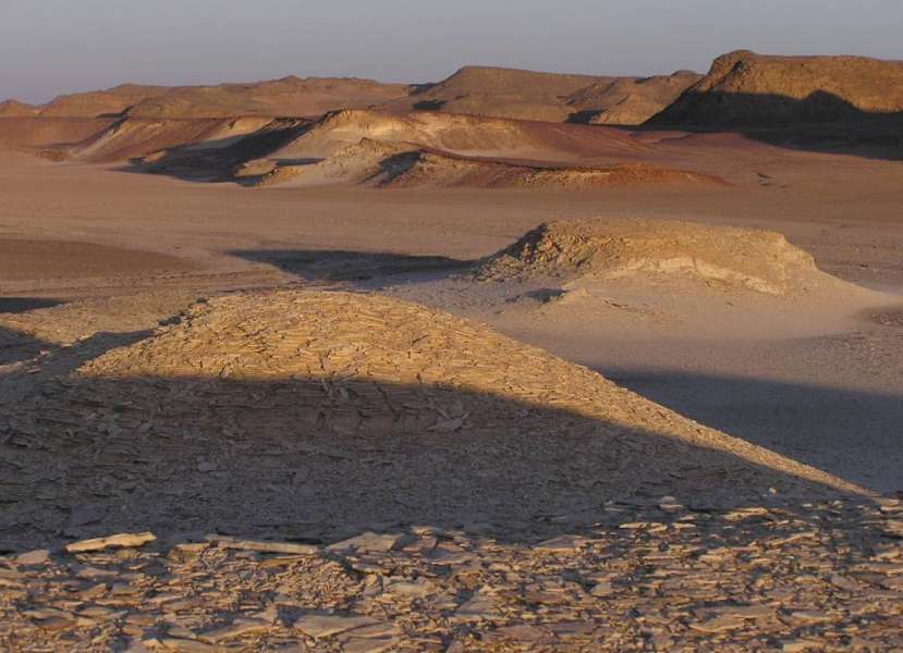
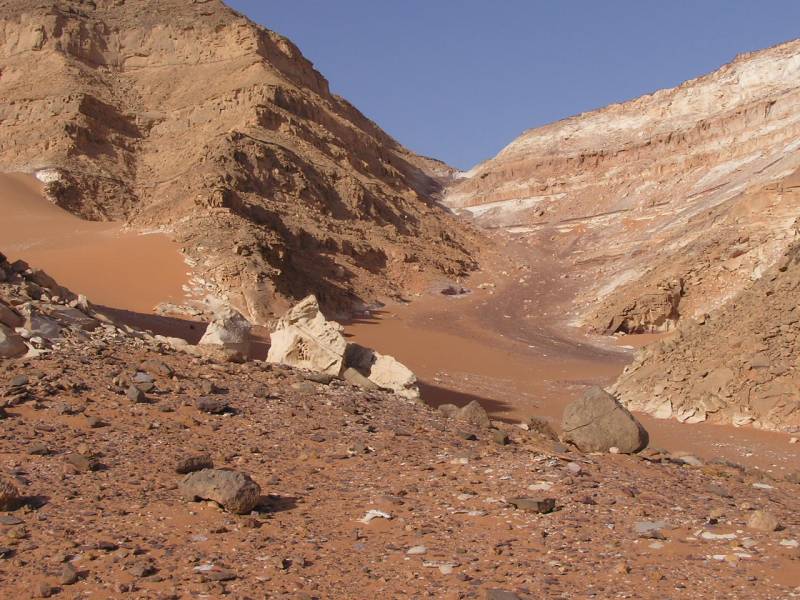
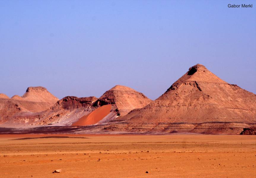
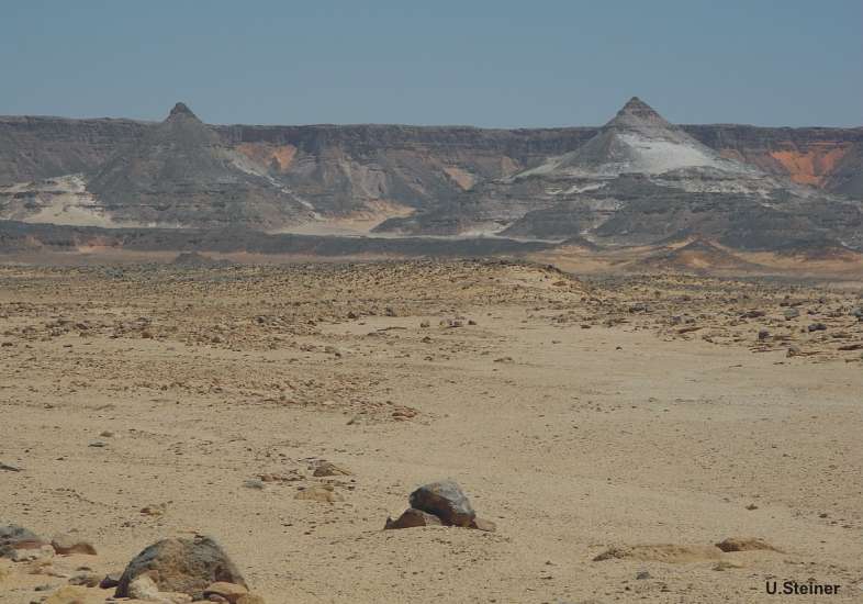
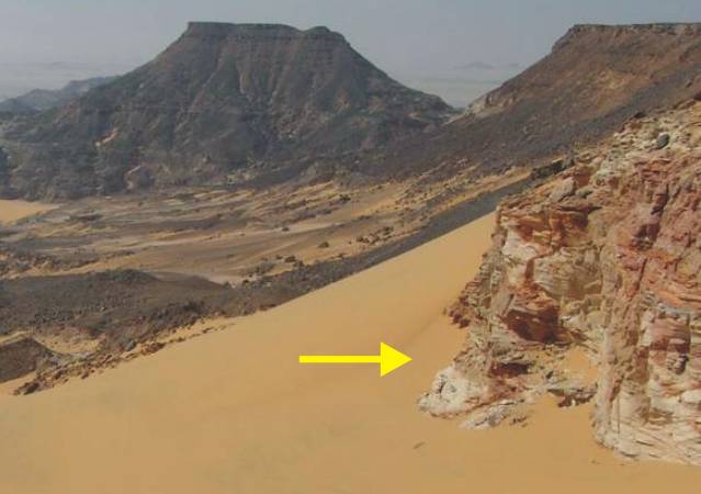
A striking feature is the "Red Spot". Here are the strata complete impregnated
by iron-containing solutions. Locally it should be noted that these surfaces
are covered with hardened ferruginous sandstone plates or detritus on
alluvial plains.
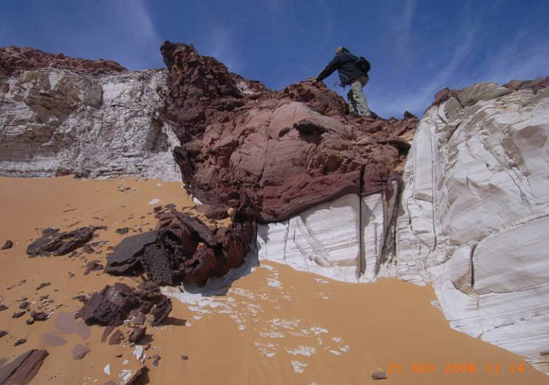
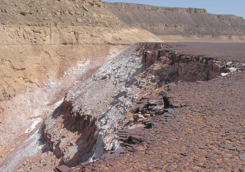
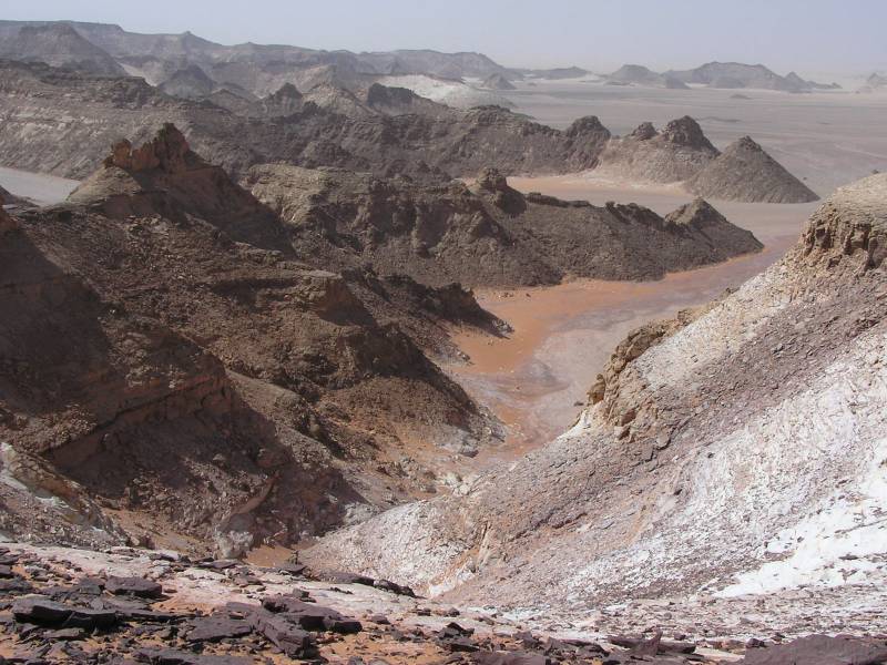
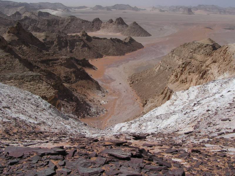
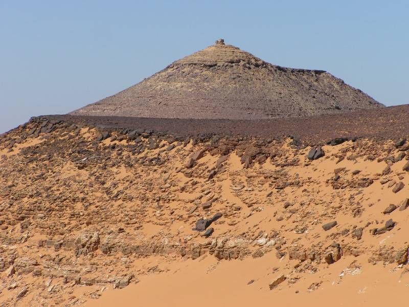
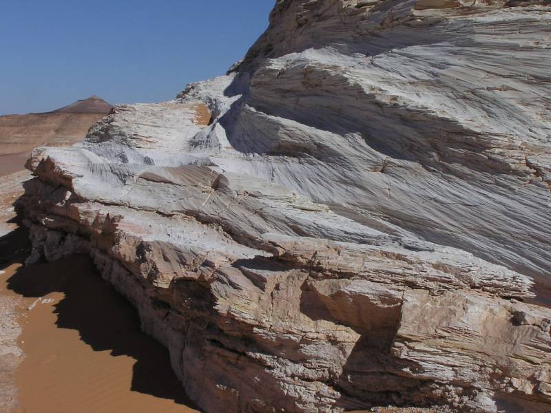
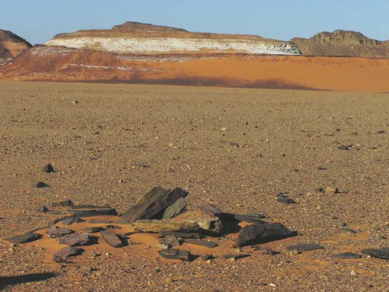
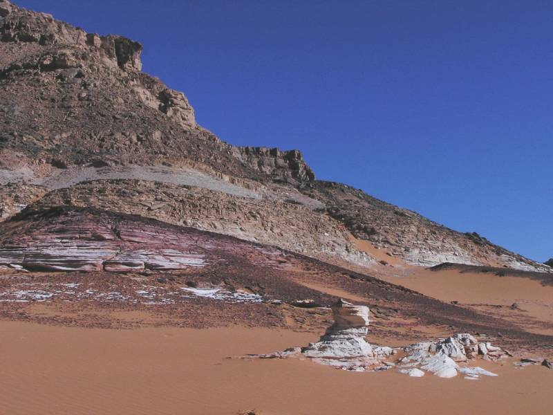
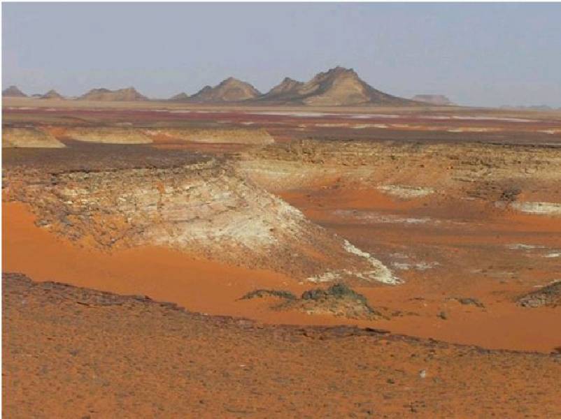
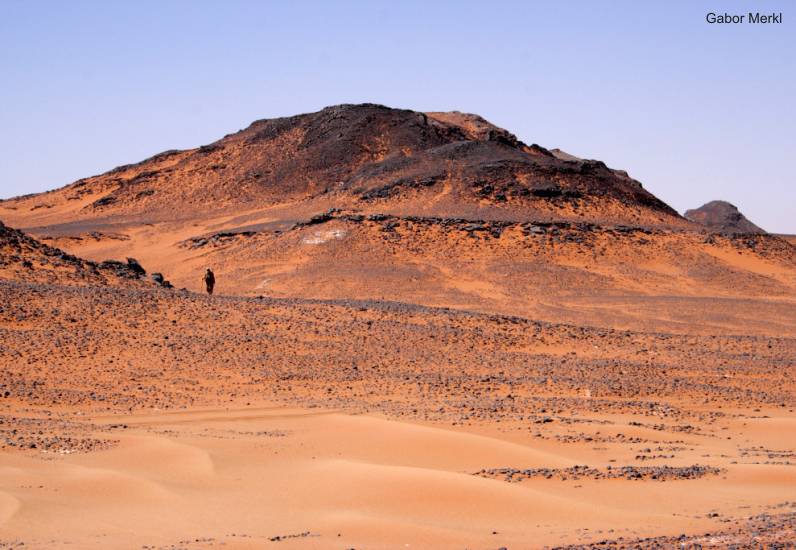
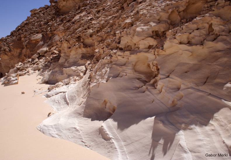
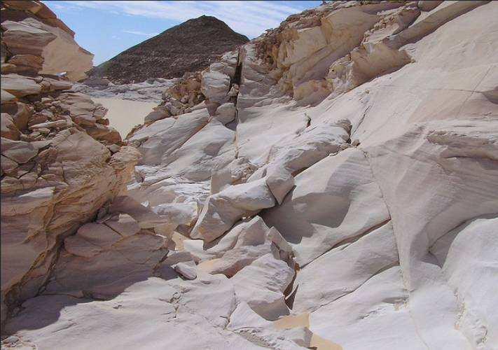
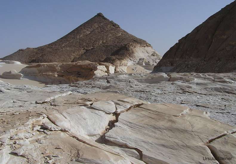
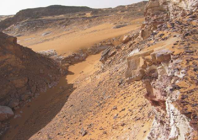
In the profiles of the hills and mountains in this region is also to observe
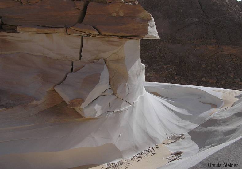
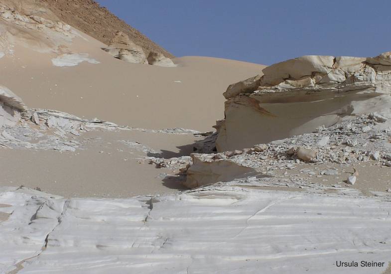
changes of normal stratiufied and colored sandstone to white (bleached)
sandstone without visible stratification. Such changed white sandstone
also contain clusters of red sandstone which break the original stratification.
This is a clear indication that the bleaching of the sandstones was done
before the hydrovolcanic penetration of the iron-containing solutions.The
possible chemical and mechanical processes are not explored.

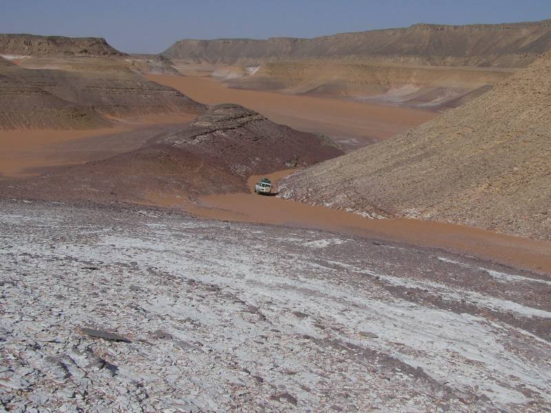
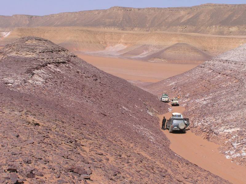
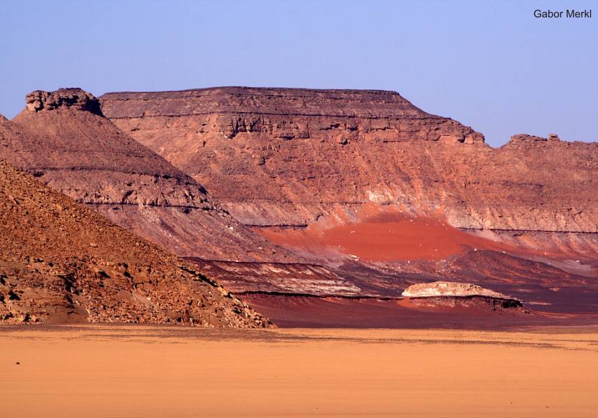
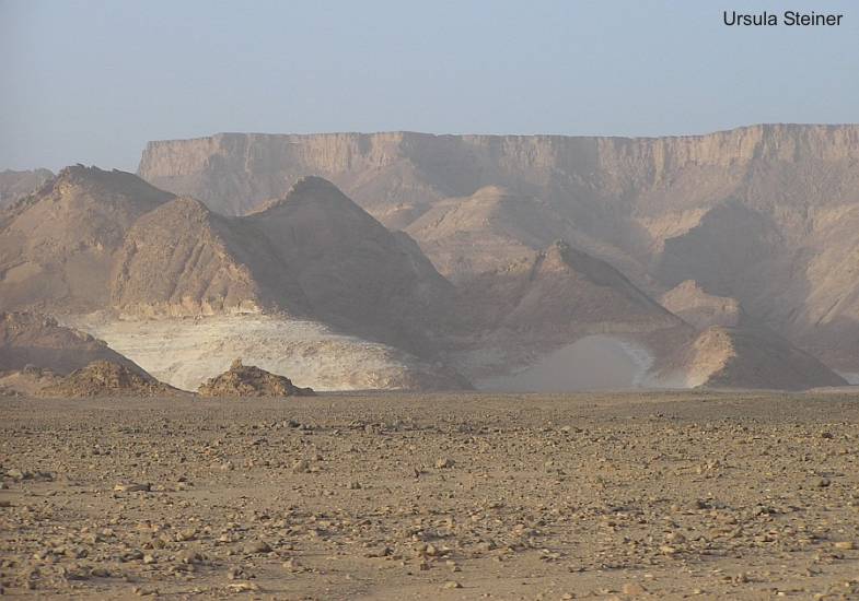
IIt is striking that mostly the
lower paleozoic sandstone parts, directly above the uplifted basement,
in the western Gilf Kebir plateau are affected by the phenomenon of bleaching.
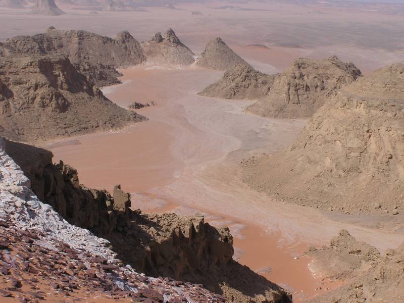
Except the Abu Ras passage east of Jabal Asba, and also near Wadi Sura,
in the lower parts of the Ordovician/Silurian sandstones, are changed
white sandstone to observe. Often they are covered with very ferruginous
sandstone.
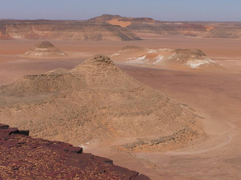
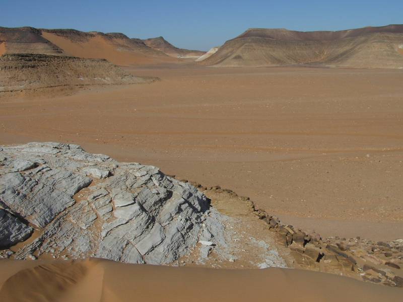
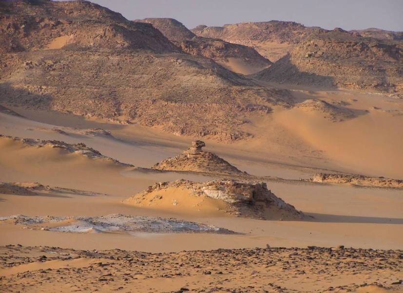
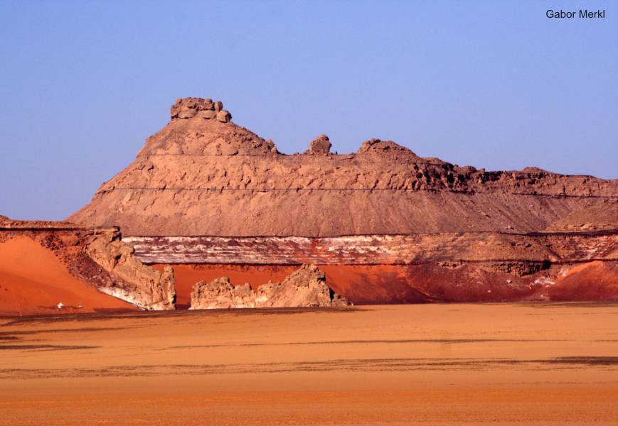
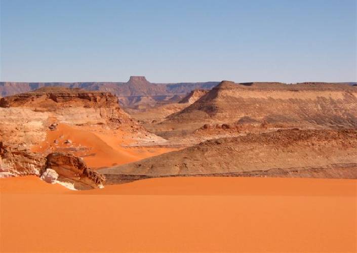
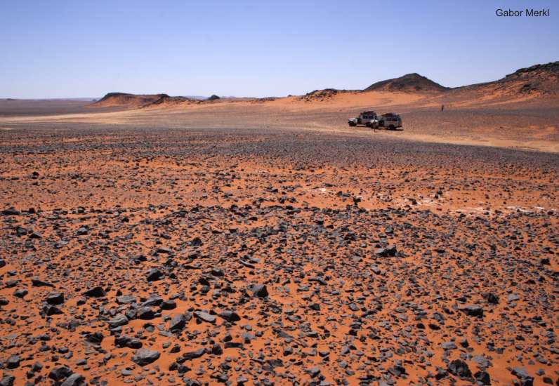
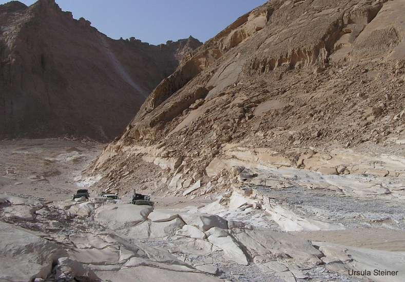
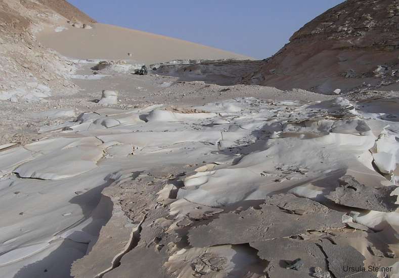
Also upper parts of the plateau are affected by the phenomenon of bleaching
(Wadi Abdel Malik). In principle, are the whole Gilf Kebir (inclusive
the southern part) and also the Abu Ballas scarp-contour in the GKCF more
or less affected by this phenomenon. Locally are to seen again and again
white parts in the sandstones. To this belongs also the pushed zone of
white erratic blocks in the northern foothills of the Gilf Kebir (by KLITZSCH
called glaciogenic series).
Note: Another speciality
are red clayey layers within
Carboniferous
strata in the Wadi Talh (western plateau along the Wadi Abdel Malik)
and in the western foreland at the Libyan side, which are also partially
exposed. These deposits are not formed secondarily. They document marine
floodings in the Carboniferous period.
|
|