|
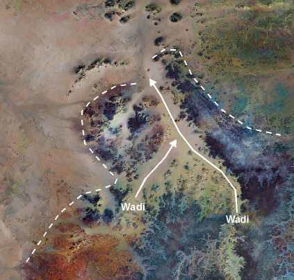
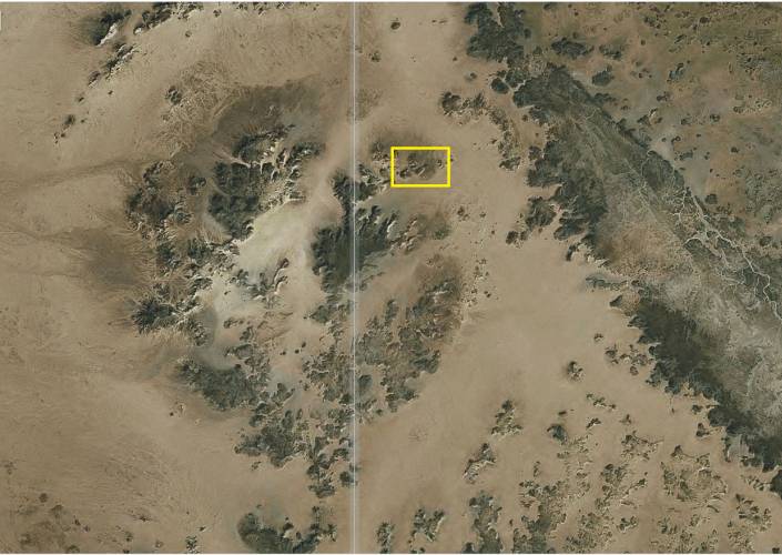
By wadis formed structure "Kebira"
|
LARGEST CRATER IN THE GREAT SAHARA DISCOVERED
BY BOSTON UNIVERSITY SCIENTISTS
Researchers from BU’s Center for Remote Sensing locate crater
using detailed satellite data
(Boston,
March 3, 2006) – Researchers from Boston University have discovered the remnants
of the largest crater of the Great Sahara of North Africa, which may have
been formed by a meteorite impact tens of millions of years ago. Dr. Farouk
El-Baz made the discovery while studying satellite images of the Western Desert
of Egypt with his colleague, Dr. Eman Ghoneim, at BU's Center for Remote Sensing.
The double-ringed crater – which has an outer rim surrounding an inner ring
– is approximately 31 kilometers in diameter. Prior to the latest finding,
the Sahara's biggest known crater, in Chad, measured just over 12 kilometers.
According to El-Baz, the Center's director, the crater’s vast area suggests
the location may have been hit by a meteorite the entire size of the famous
Meteor (Barringer) Crater in Arizona which is 1.2 kilometers wide.
El-Baz named his find “Kebira,” which means “large” in Arabic and also relates
to the crater’s physical location on the northern tip of the Gilf Kebir region
in southwestern Egypt. The reason why a crater this big had never been found
before is something the scientists are speculating.
Source: http://www.bu.edu/remotesensing/News/kebira/index.html
(now dead link)
|
|
My Statement
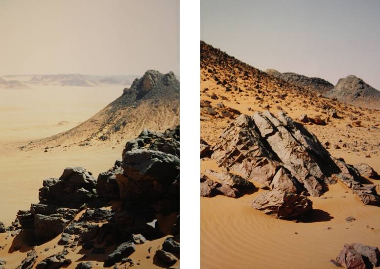
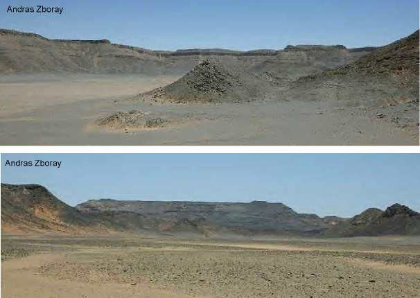
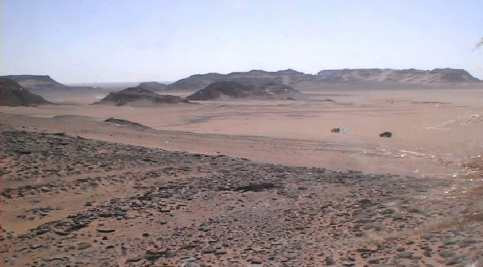
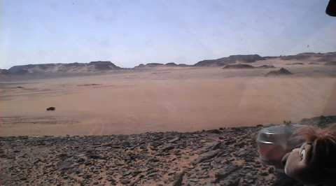
Where is a crater ? This structure in the northern part of the Gilf Kebir
is no crater (also no impact crater). This striking structure was formed by
erosion. There are no imperative references for an impact event. The researchers
from the Boston University are sacrifices of an optic deceit, if they see
rings or circular walls. The centre of the structure does not differ from
the other Gilf Kebir plateau. It is composed of fissured table mountains of
Carboniferous
strata. The layers are undisturbed.
The crater "Kebira" is a great error !
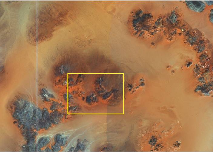
Mr. Jochen
Steffen traveld between 1998 and 2004 common with Mr. Samir Lama
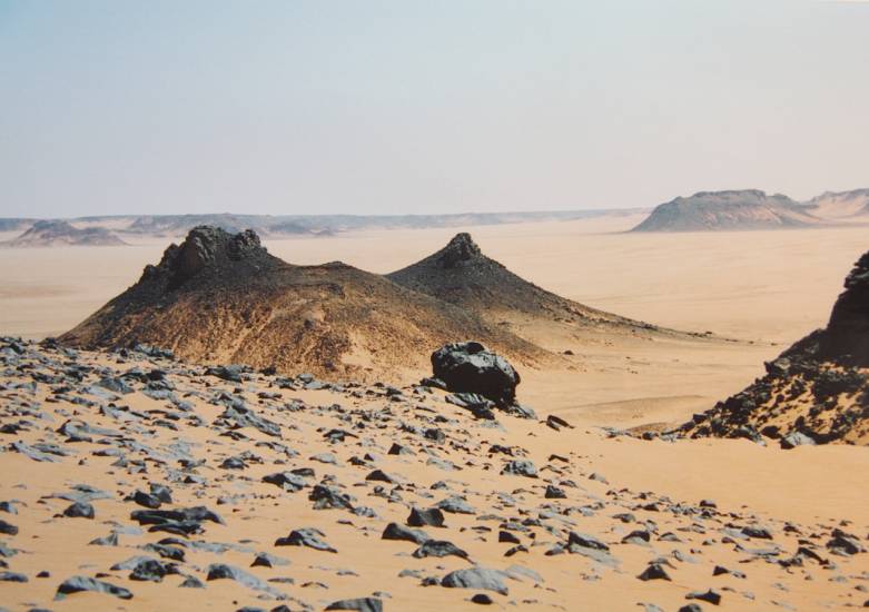
several times for weeks in the Gilf Kebir region. He also took insightful
photos from the area of the eastern edge of the supposed structure "Kebira",
around 24 ° 43'N / 25 ° 02'E. They show a landscape with volcanic plugs and
thus another argument against an impact event. Surprisingly, modern satellite
images also show in the environment a reddish color due to a infiltration
by iron.
|