|
 Geological highlights in South-Algeria

(2007)
|
|
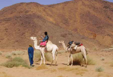
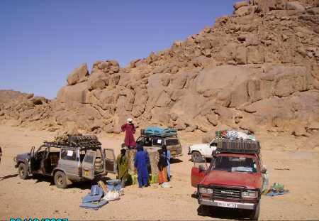
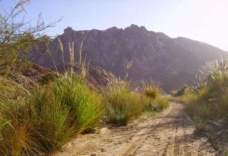
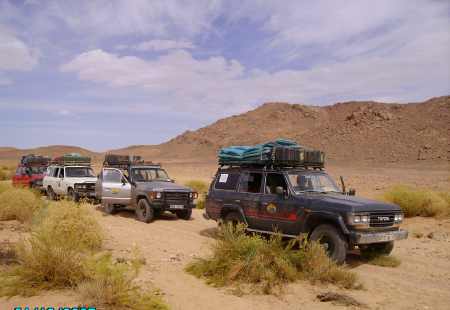
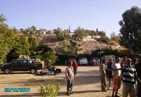
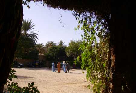
Start from the camp in Tamanrasset
|
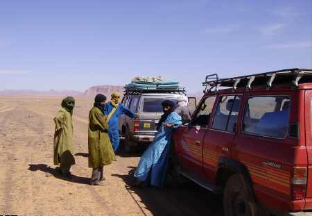
The driver crew
|
|

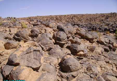
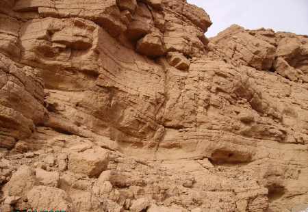
First basalt columns on the way to the
Hoggar mountains
|

Overturned basalt columns
|
|
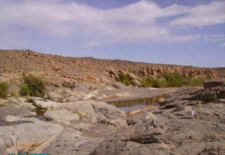
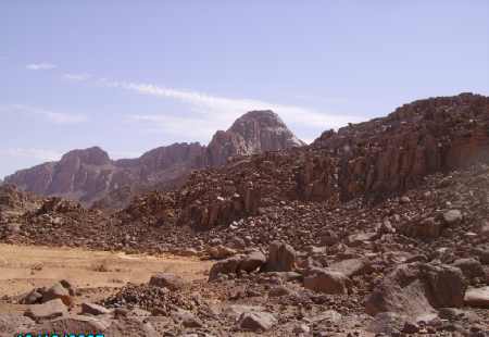
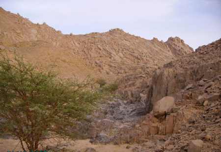
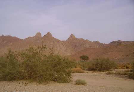
Guelta with granites above the Precambrian
basement
|
Basaltic lava-field in the same guelta
|
|
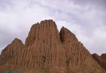
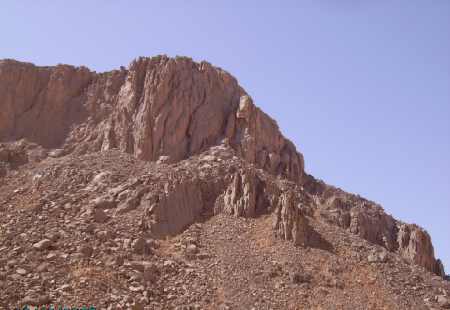
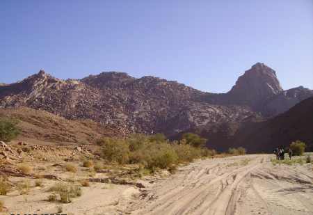
Beautiful basalt columns nearby the
Assekrem summit
|
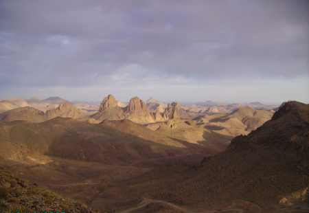
Panorama view from top of the Assekrem
|
|
An unexpected coincidence
|
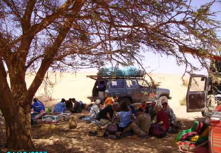
High noon; temperature under the tree:
35°C
|
|

Geological meeting
|
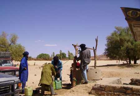
New drinking water reserves
|
|
|

|
|
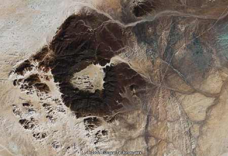
Granitic ring-pluton Tilhaliouine
(23° 18' N / 4° 43' E)
|
Inside of Tilhaliouine
|
|
Granite wall of the Tilhaliouine
|
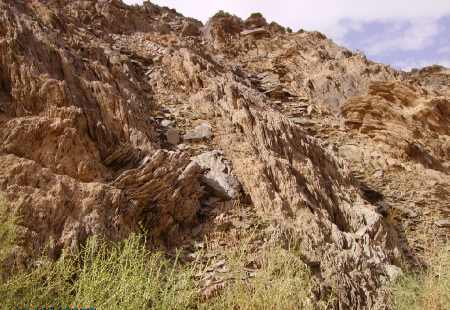
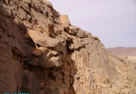
On the way: Outcrop of
methamorphic Precambrian sediments
|
|
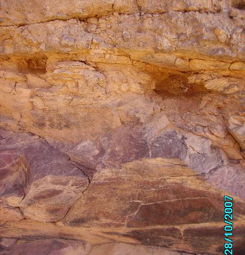
Methamorphic Precambrian sediments
|
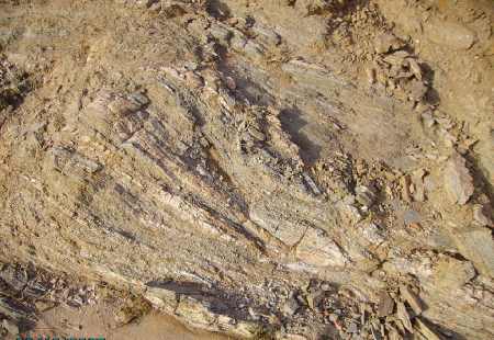
Outcrop of Precambrian marble
|
|
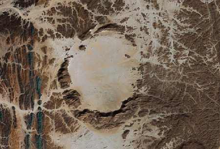
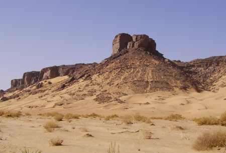
Ouksem -- a young explosive double-crater
(23° 55' N / 5° 49' E)
The eruption had imbued through a old granitic dome
|
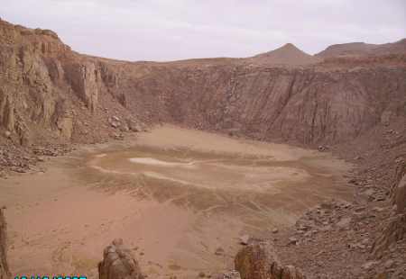
The northern part of Ouksem with
a soda-lake
|
|
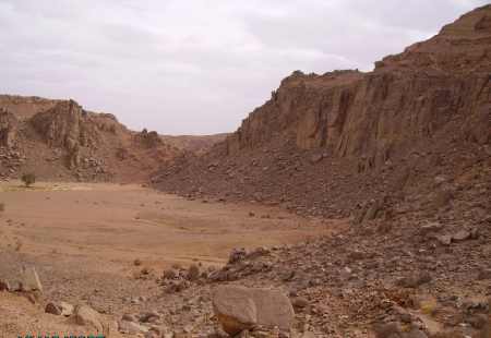
The southern part of Ouksem with
granitic walls
|
Typical ash-layers on the crater rim
|
|
|
|
|
|
|
|
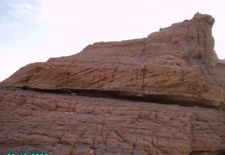
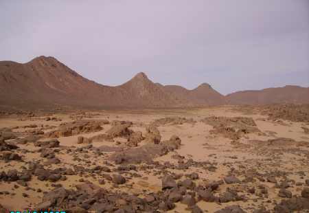
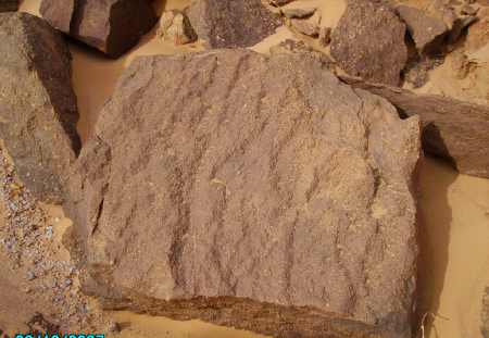
First Tassili-sandstone on Precambrian
basement
|
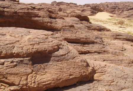
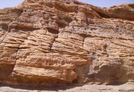
Paleozoic Tassili-sandstone with fluvial
cross-bedding
|
|
|
|
|
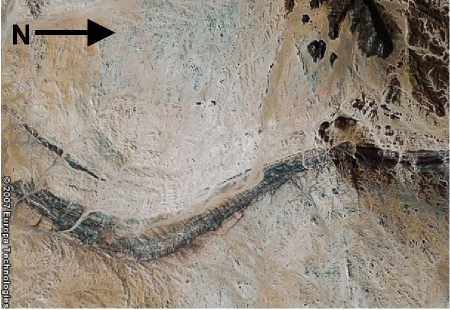
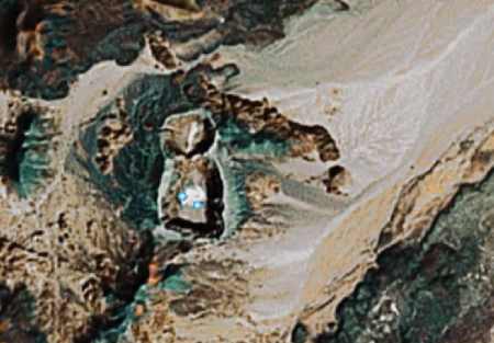
Satellite-image from the outcrop of
Precambrian marble, quartzite and amphibolite
|
The same strip on the bottom
|
|
Outcrop of Precambrian marble in this
strip
|
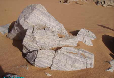
Position: 22° 55' 36" N / 7°
33' 26" E
|
|
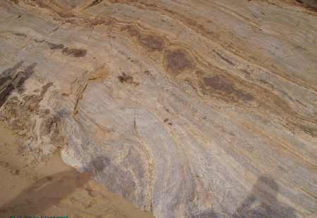
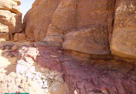
Again an outcrop of beautiful Precambrian
marble
|
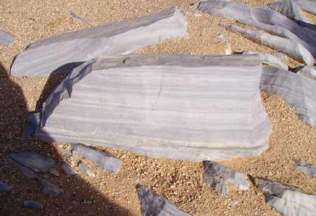
Position: 22° 43' 11" N / 8°
21' 09" E
|
|
|
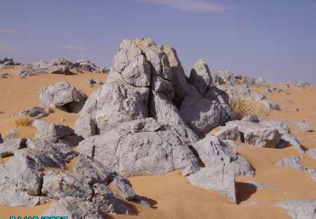
Granitic ring-pluton Tin Eroras
(23° 43' N/ 8° 30' E)
|
|
Inside the ring-pluton Tin Eroras
|
with contact-methamorhic sandstones
on top
|
|
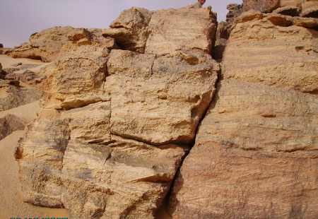
Isolated outcrop of cross-bedded Tassili sandstones
|
with ripple marks
|
|
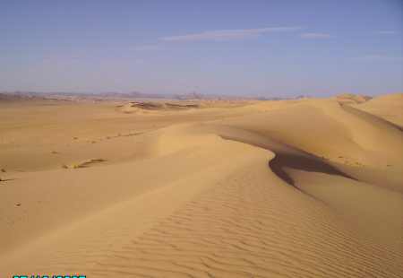
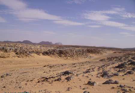
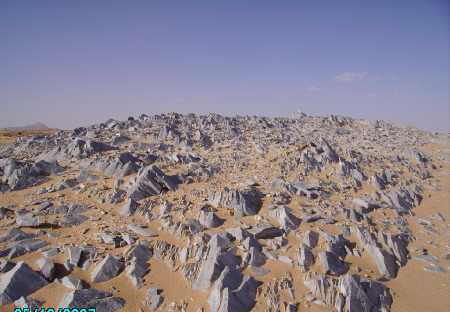
The large Tassili plateau at the horizon
|
The Tassili plateau
|
|
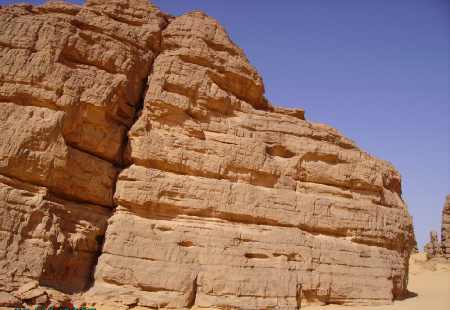
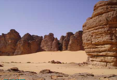
Enormous walls of sandstones
|
|
|
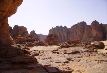
TDiscordance between Precambrian
basement and Paleozoic Tassili-sandstone ?
|
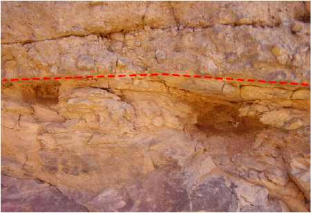
Detail
|
|
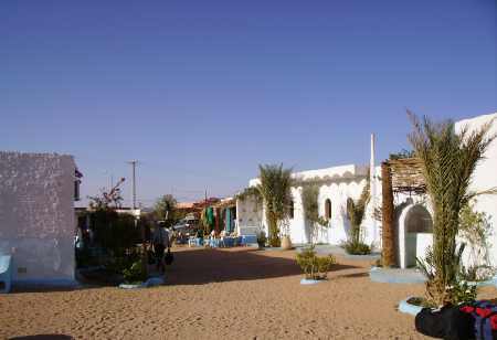
The geological tour is finished
|
in the Oasis Djanet
|